Today is our second and last day up at Pictured Rocks, so there's a lot to cram in before we drive back home. 

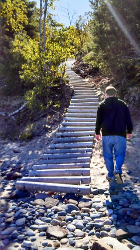
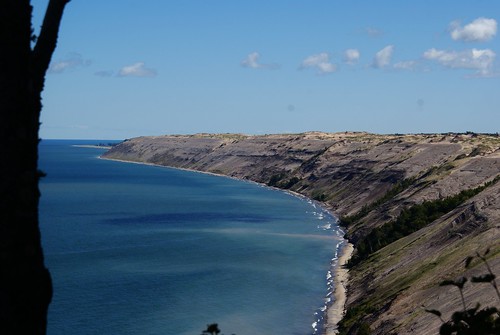
The first major destination was the Au Sable Light Station Trail, which leads to Au Sable Light Station

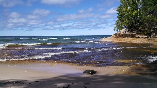
The past itself is along a dirt road, nestled in the woods. There were a few turnoffs to go to the beach and view shipwrecks. As noted on this sign, there is some viewing to the right, not left. 
We walked a little and finally some wreckage in the water became visible. 
The whole thing was kind of awesome.
And there were quite a few clusters of wood and twisted metal, all along the beach.
Finally we came upon a winding, wood and rope ladder that lead back up to the path....
...and the Au Sable Light Station. The whole trail was only about three miles round trip, and totally worth it.
Since we were in the area, we also swung by the Log Slide Overlook. The view from the overlook is stunning and daunting. You can't see it from the photo (brush covers the view), but the log slide is about 500' from top down to the bottom, 300' of which is vertical. That is some extreme dune climbing that we did not do.
The last major stop we made before heading home for the day was Sable Falls. It's a beautiful trail with numerous stairs that wind their way down and along the falls and creek toward Lake Superior.

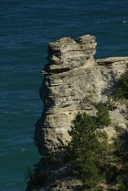
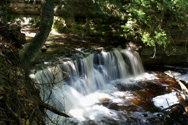
The whole trip, while short, was fantastic. I liked our trip to Tahquamenon Falls a lot, but I really enjoyed how remote Pictured Rocks felt in comparison. There weren't a ton of people around (granted we are there during the off season) and you could hike for hours and hours along the dirt. A part of me would really love to camp there. Of course, the part of me that really likes indoor plumbing would not be happy. I've never actually camped that rustic before. Maybe someday.

Anyway, here's a link to more photos of our trip: Pictured Rocks

Also, Chris has a post with different photos on his blog too.

With an early start, the first stop we made was at Miners Falls. It's a pretty short walk to a nice waterfall just south of the famous rock formation that makes Miners Castle.
Just up the road was Miners Castle, so we headed over there for a nice view of Lake Superior and some pretty impressive rock formations.
We decided to do most of our hiking at Mosquito Falls, which is by the more popular Chapel Falls. Maybe it was the time of year, but there were no mosquitos while we were out and about.

The path felt a lot longer than it was, mostly due to climbing up and down rather than going along a flat path. Parts of the path were muddy, but overall it wasn't too bad. It was certainly more rugged than I'd anticipated.

The view was beautiful along the way almost the entire way - with one exception. The pit toilet. Had I known that the horrible, scary bathroom I used was right next to a cleaner pit, more enclosed pit toilet, I would have been a lot happier. Lesson of the day? When in doubt, walk another twenty feet.
But the whole long hike to Lake Superior was worth it. The view where Mosquito River dumps into the lake was great, and since we were at the park off season, there were virtually no other people.

Anyway, here's a link to more photos of our trip: Pictured Rocks

Also, Chris has a post with different photos on his blog too.